
3D laser scanning
and building digitisation
We digitize reality with
millimeter accuracy
for your peace of mind
and a flawless project.
We create interactive digital twins and precise as-built documentation that serves as a reliable foundation for designers, architects, and facility managers.
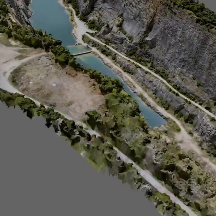

















How does the digitization process work?
Our entire 3D digitization process is designed to be as efficient and safe as possible. By leveraging advanced technologies such as laser scanning and photogrammetry, we capture the actual condition of an object with millimeter accuracy (± 3 mm).
Preparation & contactless data collection
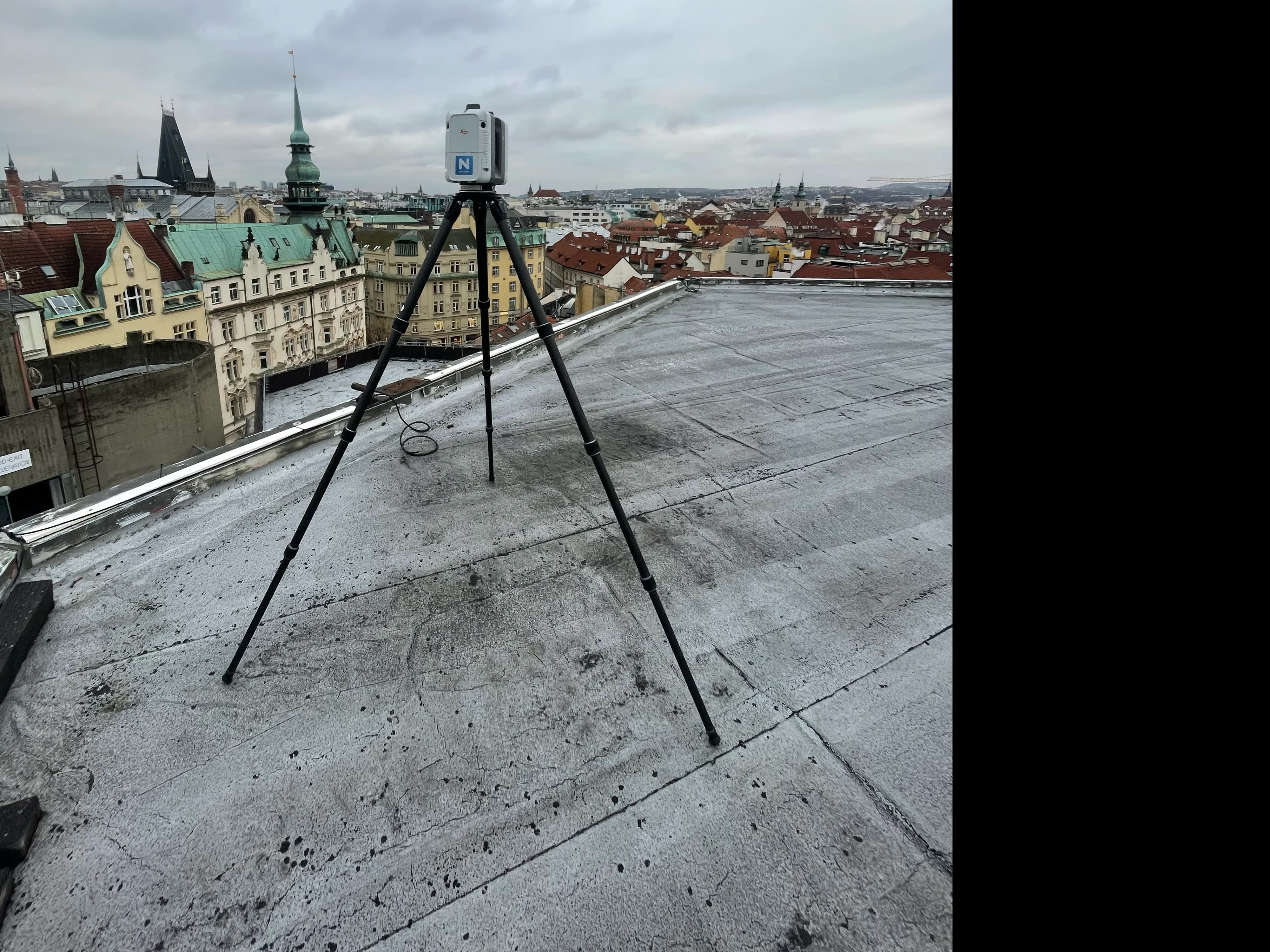
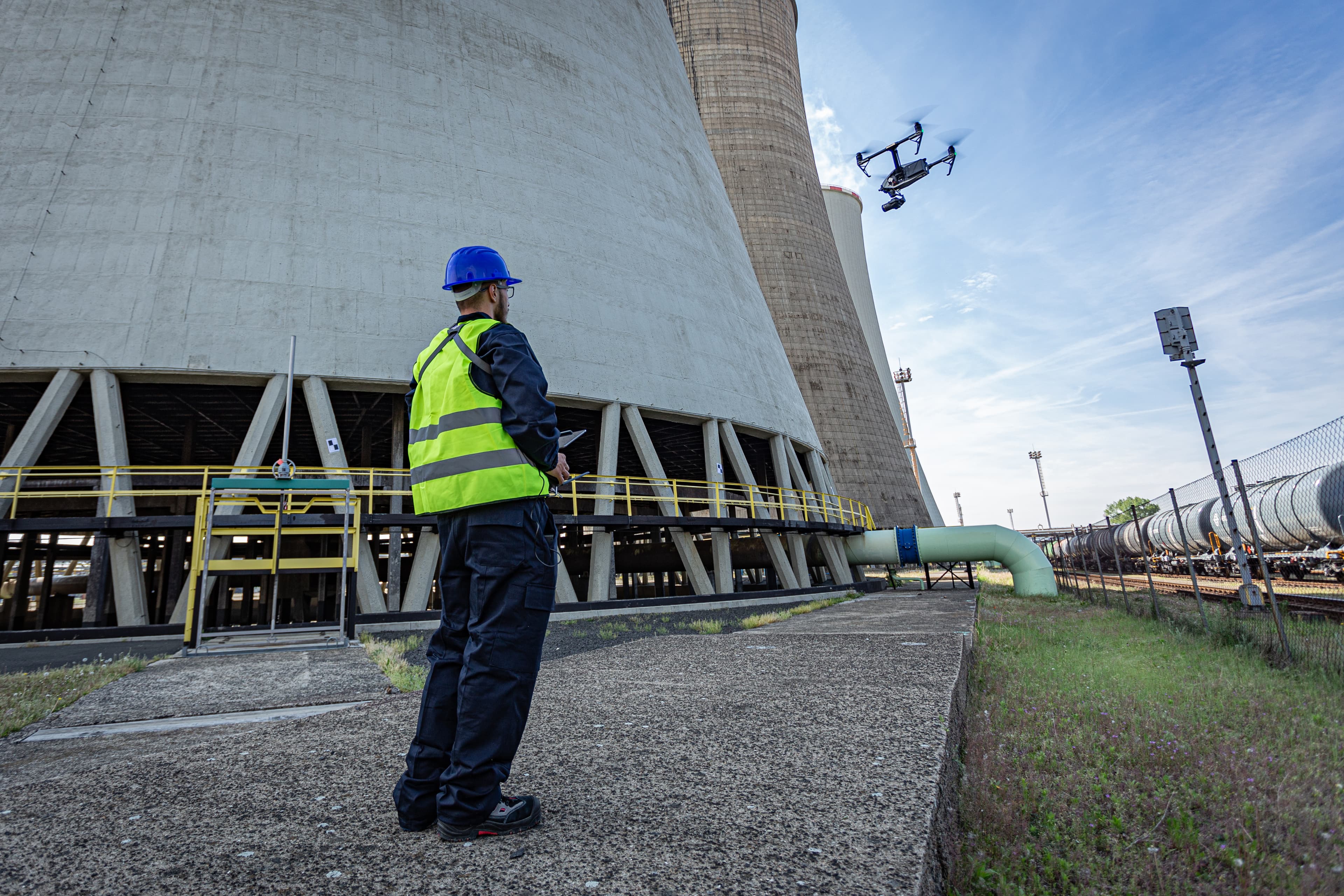
In the first phase, our field specialists deploy top-tier laser scanners or take off with drones:
Laser Scanners
We use cutting-edge instruments such as the Leica RTC360, which captures millions of points in just minutes. The entire process is non-destructive and contactless — the laser beam simply bounces off surfaces.
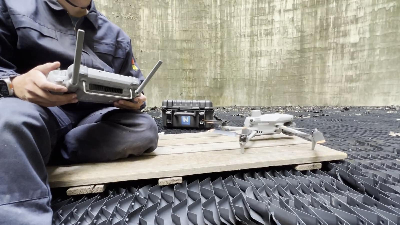
High-resolution Drones
For large areas, we fly drones equipped with cameras (DJI Mavic and Matrice series). Nobody needs to physically climb structures, set up scaffolding, or risk damaging fragile elements.
360° Scanning
The scanner emits an invisible laser beam that maps the space in full range:
360° horizontal and vertical
Using a rotating mirror, the scanner captures millions of points in just minutes. The instrument maps the entire surrounding space.
Data purity
Our surveyors often "hide" around the corner during measurement — not for safety (the laser is harmless), but to ensure maximum data purity without people in the scan.
Fast and accurate
The entire process is non-destructive. We obtain complete data with ± 3 mm accuracy without physical contact with the object.
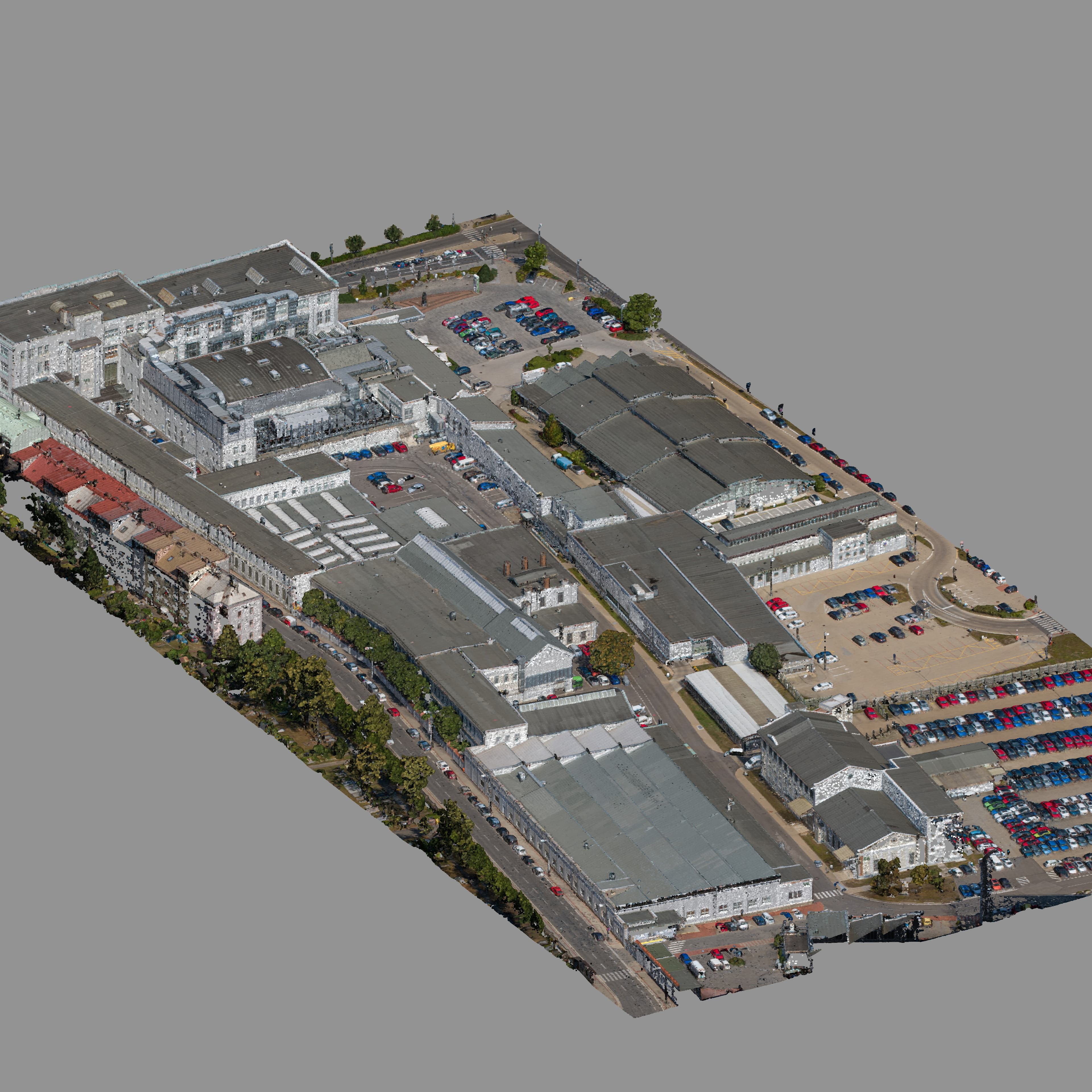
Registration & digital twin creation
Raw data collected from dozens of stations is processed in professional software:
We use software such as Cyclone Register 360 or Agisoft Metashape for precise alignment of point clouds into a single unified dataset.
The result is a 1:1 digital twin that is a faithful copy of reality and serves as the basis for creating precise as-built documentation.
We produce DWG drawings, PDFs, or 3D vector models (BIM) ready for further use by designers.
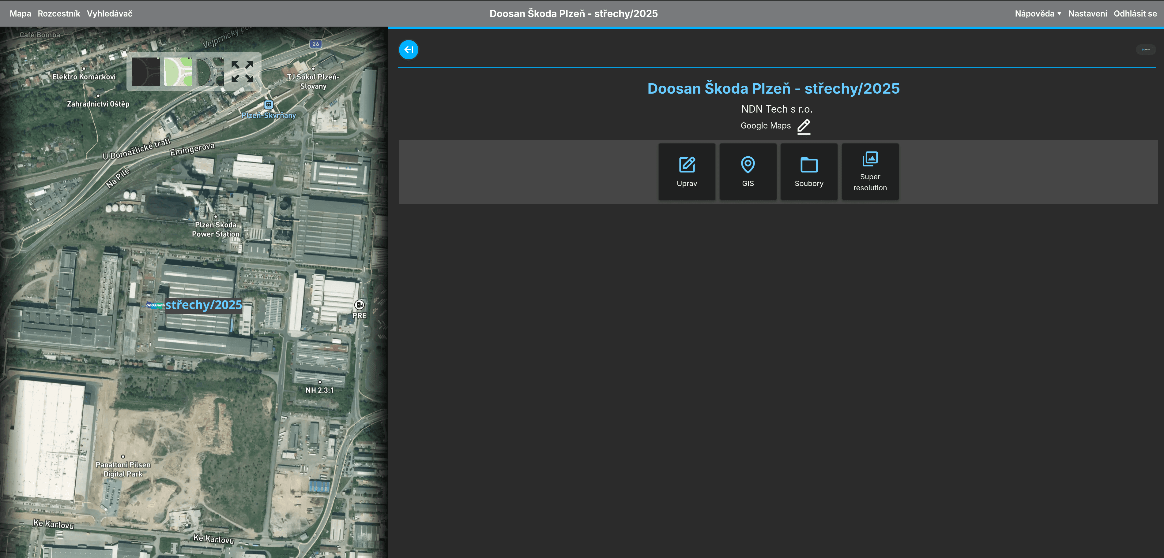
Interactive management in NDNPORT
We don't just hand you a pile of files. Everything is uploaded to our online portal:
24/7 Access
Access your data anytime through a web browser. Using the integrated Nira or Sketchfab viewers, you can interactively explore the model.
Survey-grade Measurements
Perform your own length and area measurements with survey-grade accuracy without needing to install expensive CAD software.
Complete Documentation
All drawings, point clouds, and 3D models in one place, ready for immediate use.
3D Laser Scanning & Digitization: Why, When, and For Whom Is It Essential?
3D laser scanning and the creation of digital twins represent a revolution in building and infrastructure documentation. Instead of tedious manual measurements, we create a faithful copy of reality with millimeter accuracy that serves as a reliable foundation for designers and building owners alike.

Why perform 3D scanning and digitization?
The main purpose is error elimination and maximum data accuracy. While traditional measurement methods are slow and prone to human error, digitization "preserves" reality in time. The key benefits include:
High Accuracy
We capture reality with ± 3 mm accuracy, eliminating the risk of errors from manual tape measurements.
Millions of Points in Minutes
The scanner captures everything within 360° range horizontally and vertically. You never have to worry about forgetting a measurement.
1:1 Digital Twin
You get a faithful model of the actual condition where you can virtually walk through and measure any detail right from your office.
Safety & Cleanliness
Scanning is non-destructive and contactless. Our experts hide "around the corner" during measurement to keep the data clean and free of people.
When do you need 3D scanning and as-built documentation?
Situations where precise digitization of an object is essential arise throughout the entire lifecycle of a building:
Before starting a renovation
When you need a bulletproof reference where every corner, pipe, and ceiling height matches — for a flawless project.
After construction completion (As-built)
To document the actual execution, which in practice almost always differs from the original project documentation.
For managing technologies and mechanical rooms
Where the density of utility runs is so high that manual surveying is technically unfeasible.
For archiving and restoring heritage sites
Preserving the condition of historic buildings for future generations or as a reference for restoration work.
For the film industry and visualizations
Creating digital environments and sets for movie magic or virtual tours.
Who needs 3D scanning and digitization?
This service is essential for every professional who requires digital data to match the actual condition:
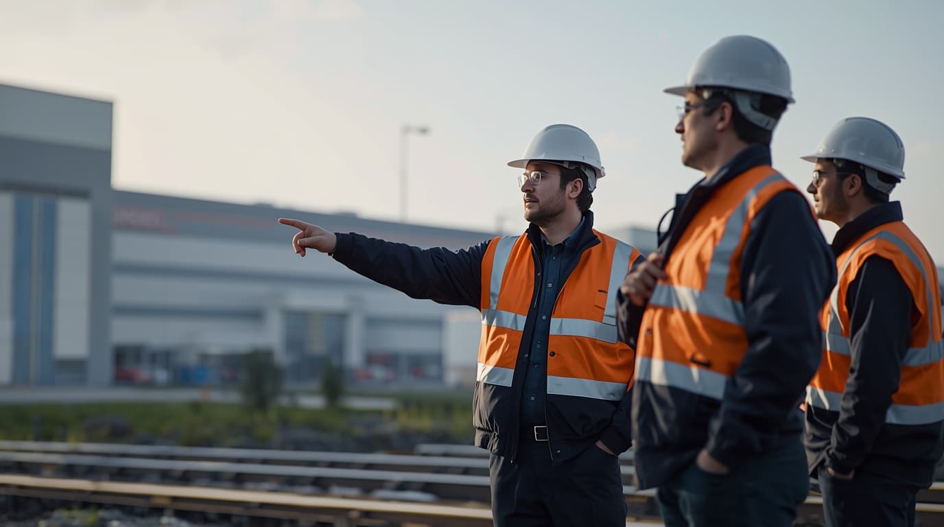
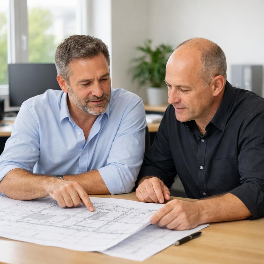
Designers & Architects
They receive a point cloud or DWG drawings ready to work with immediately — without repeated field visits.
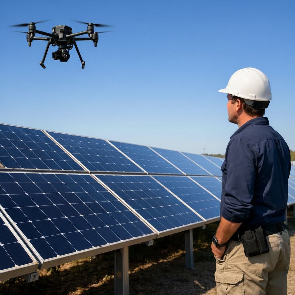
Facility Managers
For efficient facility management, maintenance planning, and 24/7 access to technical information through our portal.
Investors
As indisputable legal proof of the actual construction execution and a precise data source for future development.
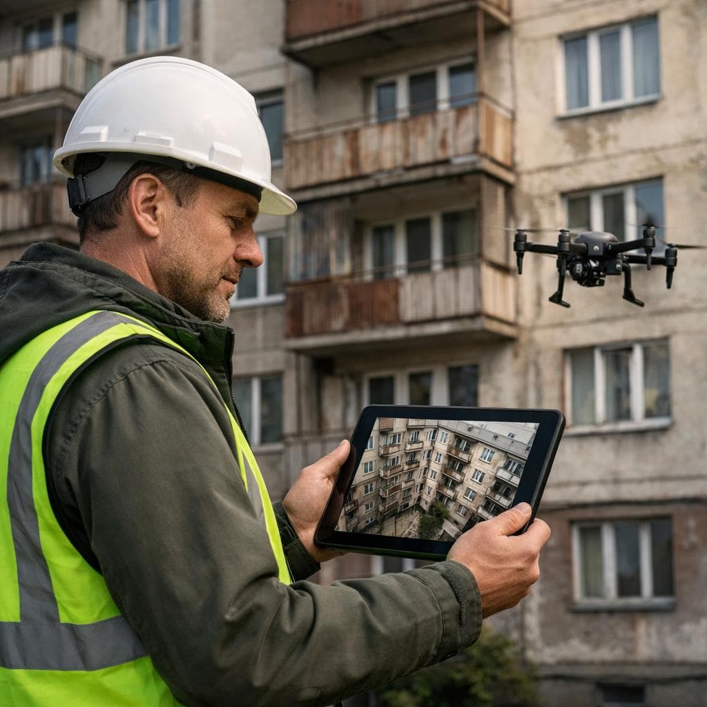
Construction Supervisors & Surveyors
For verifying shape deformations, structural plumbness, or precise volume calculations.
When should you absolutely not delay digitization?
The most critical moment is the phase just before utilities and structures are concealed. Once technologies are hidden behind suspended ceilings, in shafts, or underground, their exact position becomes unknown. A 3D scan at this point creates a "digital X-ray" of the building, saving you millions in future emergencies or modernizations.
3D laser scanning is a digital fingerprint for your property. While paper documentation ages and loses accuracy, a digital twin in NDNPORT remains a permanent and infallible source of information that eliminates risks, rework, and unnecessary disputes on site.

A new dimension for your business
At NDN TECH, we help companies integrate cutting-edge technologies into the management of buildings and industrial infrastructure. Our mission is to digitize reality and transform it into precise data that saves you time, money, and ensures the safety of your employees.
What do we do?
Our services are built on three main pillars that cover the lifecycle of a building — from as-built documentation to predictive maintenance:
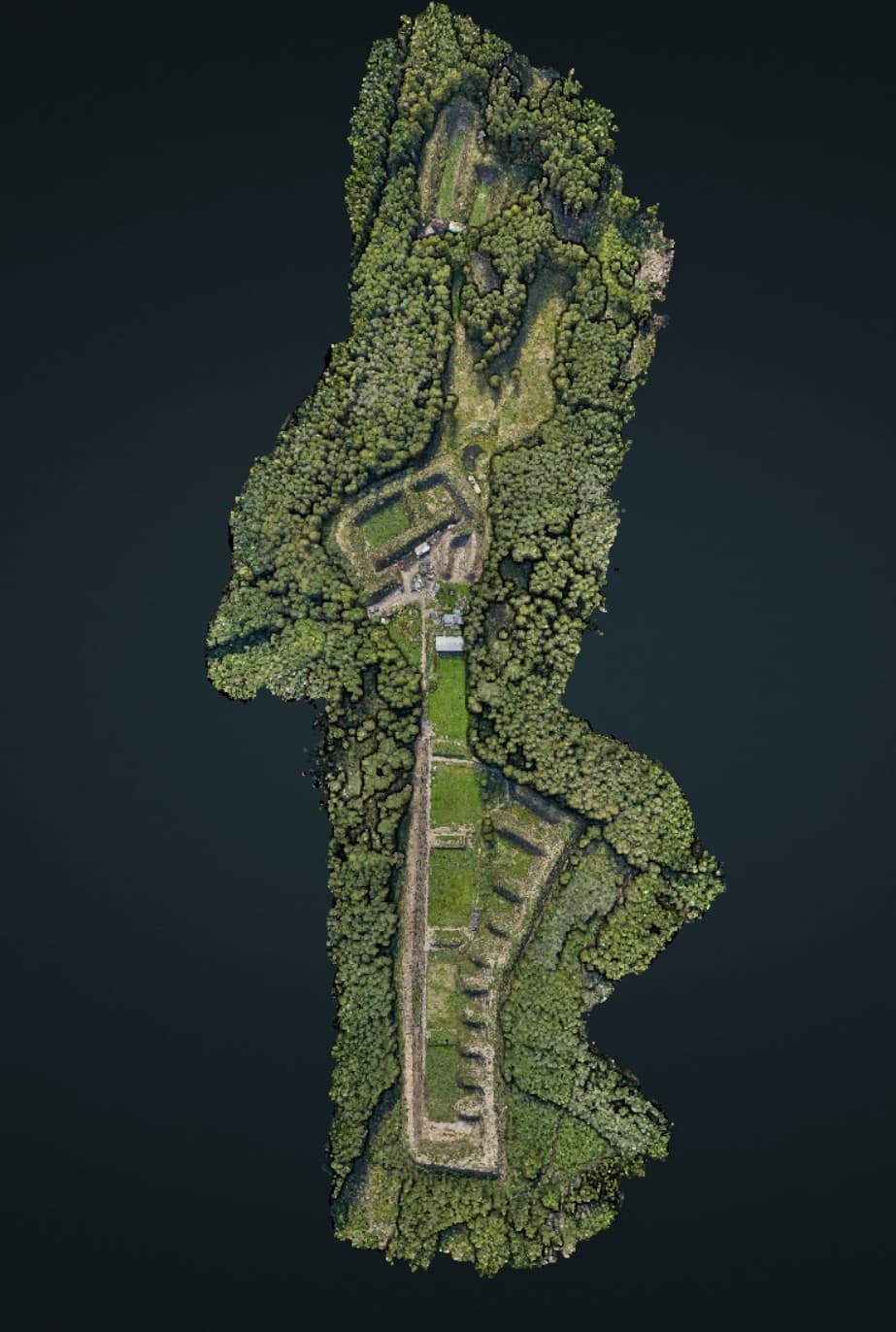
3D Laser Scanning & Digitization (As-built)
We create digital twins of buildings with millimeter accuracy (± 3 mm) that serve as the most precise reference for designers, architects, and facility managers.
As-built Documentation
Surveying the actual condition of buildings and technologies into DWG, PDF, or 3D point cloud formats.
Scan-to-BIM
We convert scanned data into Building Information Models (BIM) for modern design and maintenance.
Special Applications
Our models are also used by the film industry (e.g., Extraction 2 or The Crow) for visual effects and scene planning.

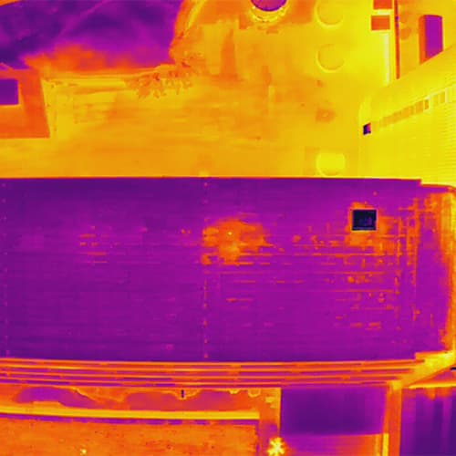

Aerial Thermal Imaging Diagnostics
Using professional drones equipped with thermal cameras, we perform in-depth inspections of roof membranes, facades, and infrastructure.
Detecting Roof Leaks
We detect moisture in insulation and waterproofing defects (PVC, asphalt) with ± 3 cm accuracy — without destructive interventions or physically accessing the roof.
Building Energy Audits
We identify thermal bridges, heat loss through facades, insulation degradation, and defects in electrical or lighting systems.
Industrial & PV Inspections
We inspect photovoltaic power plants (overheated cells), hot water pipelines, and internal linings of rotary kilns.

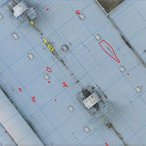

Visual Inspections & Roof Repairs
We perform visual inspections of flat roofs and provide repairs to ensure their long-term durability.
Visual Inspection
Thorough inspection of the roof membrane condition, detection of mechanical damage, and overall condition assessment.
Roof Repairs
Professional waterproofing repairs, leak resolution, and extending the lifespan of the roof membrane.
Long-term Monitoring
Regular inspections and condition monitoring of the roof for early problem detection and maintenance planning.
Discover NDNPORT

Your digital headquarters for asset management
What is NDNPORT?
It is our key product — an online client portal accessible through any standard web browser. Forget about installing expensive software or needing powerful computers. Everything we have measured for you is available 24/7 in one place.
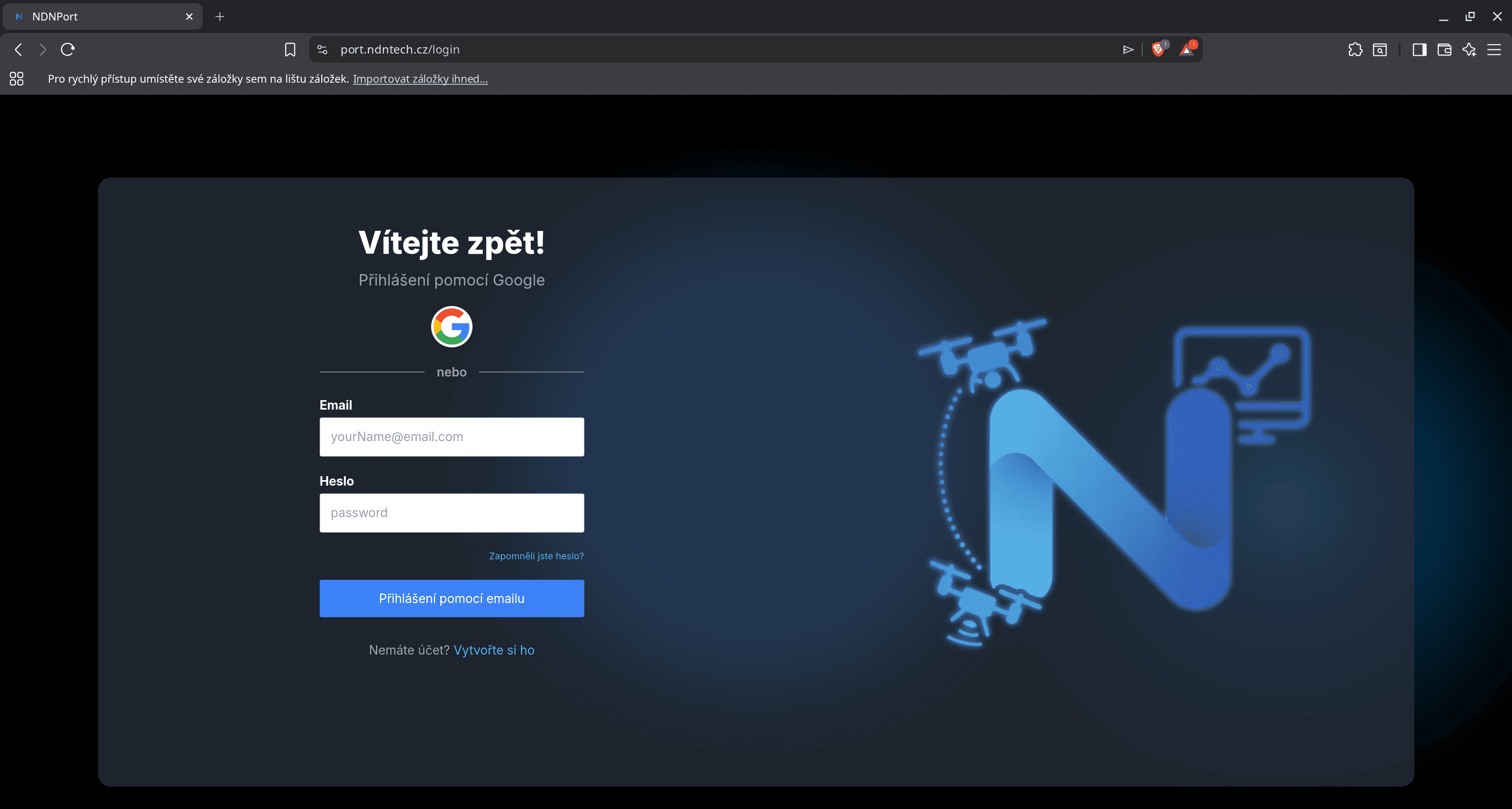
Key Features & Modules
3D Digital Twin
Interactive photorealistic models of buildings and technologies with measurement capabilities and viewing from any angle.
Interactive GIS Maps
Facility asset visualization with precise locations and technical parameters of objects.
3D Viewer (Nira & Sketchfab)
Photorealistic digital twins with measurement capabilities and detailed viewing directly in the browser.
Document Management
Drawings, reports, and point clouds available for download directly in the portal in DWG, PDF, and IFC formats.
Why choose NDNPORT?
No Barriers
No special software needed — everything is intuitively available online from anywhere.
Data-driven Decisions
Precise data for budgets, renovation planning, and maintenance.
Information Sharing
Share access with colleagues, designers, and partners without miscommunication.
Measurements & Analysis
Precise measurement of distances, areas, and volumes directly in the 3D model with a single click.
NDNPORT is your "digital twin" that gives you complete control over the actual condition of your assets, whether you are in the office or in the field.
About Us
NEW DIMENSION TECHNOLOGIES NEW DIMENSION TECHNOLOGIES — we are pioneers in 3D digitization and laser scanning. We specialize in creating digital twins of buildings using cutting-edge technology with millimeter accuracy.
Our mission is to provide precise as-built documentation that serves as an unshakable foundation for designers, architects, and facility managers. Thanks to our advanced technologies, we can capture the actual condition of objects with a level of detail that conventional methods cannot provide.
About the Company
New DimeNsion TECHnologies brings a new dimension to your business. Step into the realm of cutting-edge technologies such as 3D laser scanning, drones, and digital twins. These innovations are transforming workflows, increasing worker safety, and speeding up inspection times.
Our company is a specialist in modern geodetic services. These include spatial digitization, creation of digital twins, and aerial thermographic inspections. The services we offer meet the diverse needs of clients from industry, retail, and the energy sector. Our mission is to provide clients with exceptional quality and value while seamlessly integrating our services into their daily workflows.
With our unmatched expertise and top-tier services, you can trust us to take your business to the next level of success. Join us on the journey toward a better and more efficient future.
Our Team
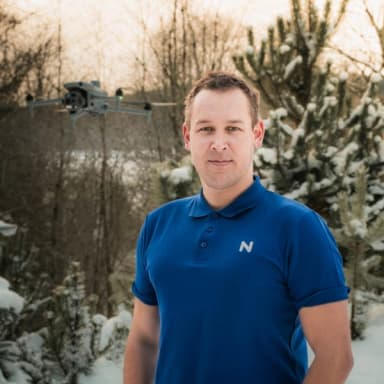
Matěj
CSO
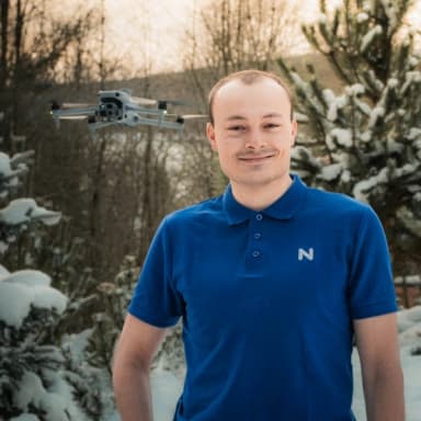
David
CTO

Petr
GIS

Barbora
Surveyor

Josef
Sales
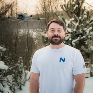
Alexandros
Developer & Sales
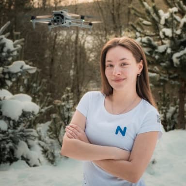
Eliška
Marketing
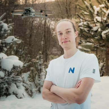
František
Developer
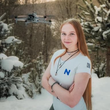
Veronika
Junior Surveyor
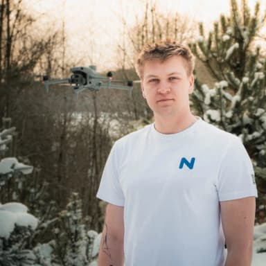
Jakub
UAV pilot

Martin
UAV pilot
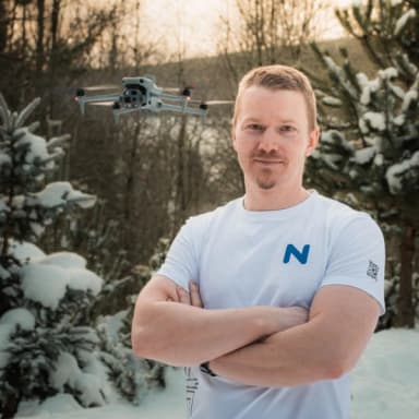
Matouš
UAV pilot
Contact
NDN Tech s.r.o.
Příčná 1892/4, 110 00 Praha 1
+420 728 994 546
info@ndntech.cz
IČ: 11913266